Boundary identification surveys play a crucial role in understanding property lines and ownership. They serve to clarify the exact limits of a parcel of land, which can prevent disputes and ensure that property rights are respected. In this article, we will delve into what boundary identification surveys are, how they are conducted, and the situations in which they become essential, along with their legal implications and costs.
Understanding the concept of a boundary identification survey
A boundary identification survey is a professional assessment that establishes the precise boundaries of a piece of land. This survey provides the necessary measurements and markings required to delineate the limits of a property accurately. The process often involves historical research, on-site measurement, and precise mapping techniques, enabling property owners to understand where their land starts and ends.
The basic definition of a boundary identification survey
At its core, a boundary identification survey is designed to identify and document the boundaries of a specific property. This form of survey is critical when there is uncertainty about the limits of ownership or when disputes arise regarding the extent of a property. Surveyors typically use a combination of historical records, field surveys, and GPS technology to pinpoint these boundaries. The surveyors may also examine previous surveys and land deeds, which can provide invaluable insights into the historical context of the property. This thorough investigation ensures that all relevant factors are considered, leading to a more accurate and reliable determination of boundaries.
The importance of boundary identification surveys
Boundary identification surveys are essential for various reasons. Firstly, they mitigate the risk of property disputes with neighbours by providing documented evidence of ownership limits. Secondly, having precise boundaries is vital for legal compliance, especially when it comes to zoning laws, easements, and land use regulations. Finally, these surveys can enhance property value by ensuring that a property’s specifications are clearly defined and understood. Furthermore, in the context of future developments or renovations, knowing the exact boundaries can prevent potential encroachments and ensure that any construction complies with local regulations. This foresight can save property owners significant time and financial resources, as well as maintain good relationships with neighbouring landowners who might otherwise be affected by misunderstandings regarding property limits.
The process of conducting a boundary identification survey
The process of conducting a boundary identification survey involves several meticulous steps, each designed to ensure accuracy and reliability. Professional surveyors adhere to a set procedure to gather data and compile reports, thus providing property owners with clear and actionable insights.
Initial steps in a boundary identification survey
The first step in a boundary identification survey is gathering existing documentation related to the property. This may include title deeds, previous surveys, and any legal descriptions of the land. Surveyors may also consider local land registry information to gain an understanding of the historical context and any previous disputes related to the boundaries. Additionally, they may interview property owners or long-term residents to gather anecdotal evidence regarding the boundaries, as local knowledge can often illuminate nuances that documents alone may not reveal. This thorough approach ensures that all potential sources of information are considered, laying a solid foundation for the survey.
The role of a professional surveyor
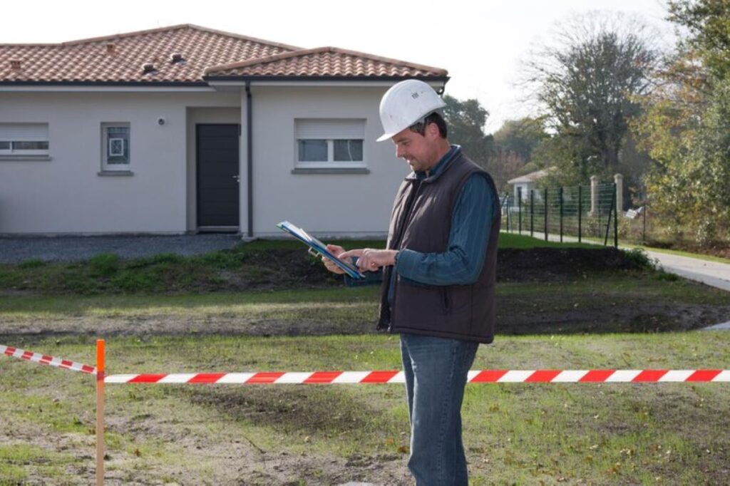
A qualified surveyor is vital in conducting a boundary identification survey. These professionals possess the training and expertise to measure land accurately and interpret complex legal descriptions. Additionally, surveyors are well-versed in the local laws and regulations governing property boundaries, ensuring that their findings are compliant with current legislation. They will often physically inspect the property, using tools such as theodolites or GPS units to aid in their measurements. Moreover, their role extends beyond mere measurement; they must also communicate effectively with clients, explaining technical details in an accessible manner. This ensures that property owners are not only informed but also empowered to make decisions based on the survey results.
Interpreting the results of a boundary identification survey
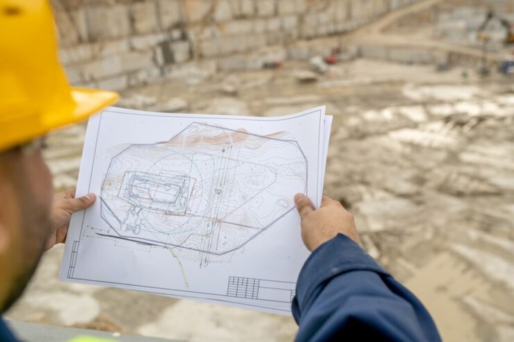
Once the data collection is complete, the surveyor will compile a report detailing the findings. This report will typically include a map highlighting the property boundaries, along with supporting documentation. Property owners must understand how to interpret this information to take appropriate actions, such as informing neighbours and addressing any potential disputes. The clarity provided by the survey can help in decision-making processes for future land use. Furthermore, the report may also include recommendations for resolving any discrepancies or ambiguities that were uncovered during the survey. This proactive approach not only aids in preventing future conflicts but also enhances the overall value of the property by ensuring that its boundaries are well-defined and legally recognised. Understanding these results can be crucial, particularly in areas where property lines are closely contested or where development plans are being considered. Visit: https://luxuryhomeswashington.com/why-you-should-hire-a-subdivision-surveyor-for-your-land-development/ to get why you should hire a subdivision surveyor for your land development.
Situations where a boundary identification survey is necessary
There are several scenarios where a boundary identification survey is not just beneficial but often necessary. Understanding these situations can help property owners determine when to engage a professional surveyor.
Buying or selling property
One of the most common circumstances necessitating a boundary identification survey is during a real estate transaction. When buying or selling property, having a clear understanding of the boundaries can influence the sale price and prevent misunderstandings. Sellers can provide prospective buyers with a clear depiction of what is included in the sale, avoiding potential future disputes. Furthermore, a boundary survey can also enhance the marketability of a property, as buyers are often more inclined to make an offer when they have confidence in the defined limits of the land they are purchasing. This assurance can lead to a smoother transaction process, reducing the likelihood of complications arising from boundary ambiguities.

Resolving property disputes
Boundary disputes with neighbours can arise due to various reasons, including disagreement over fence placements, landscaping, or property encroachments. In such cases, a boundary identification survey provides an objective assessment that can help resolve disputes amicably. This survey can offer legal evidence that supports one party’s claim over another, making it a valuable asset in negotiations. Additionally, having a professional surveyor involved can facilitate discussions between disputing parties, as they can provide expert insights and recommendations on how to proceed. This can often lead to a resolution that is satisfactory for both sides, preserving neighbourly relations and avoiding the need for protracted legal battles.
Planning construction or renovation projects
Before embarking on construction or renovation projects, it’s crucial to know exactly where your property boundaries lie. A boundary identification survey can clarify where you can legally build structures, plant trees, or make other modifications. Without this knowledge, you risk violating local zoning laws or encroaching on your neighbour’s property, leading to costly delays and potential legal issues. Moreover, understanding the precise boundaries can also aid in planning the layout of your project more effectively, ensuring that you utilise your land to its fullest potential. This foresight can save time and resources, as well as provide peace of mind that your investment is secure and compliant with local regulations. Engaging a surveyor early in the planning process can also help identify any potential obstacles that may arise, allowing for a more streamlined approach to your construction or renovation efforts.
The legal implications of boundary identification surveys
Boundary identification surveys come with important legal implications that property owners must consider. Understanding these implications helps ensure that boundaries are not only adequately defined but also legally recognised.
How boundary identification surveys affect property rights
The results of a boundary identification survey can significantly impact property rights. Clear definitions of boundaries help protect a property owner’s rights and prevent encroachments from neighbours. In legal terms, a properly conducted survey can serve as a substantial piece of evidence in court should disputes arise over property lines. Moreover, the clarity provided by such surveys can enhance a property’s marketability, as potential buyers are often more inclined to invest in properties with well-defined boundaries, reducing the risk of future disputes.
Legal disputes and boundary identification surveys
Legal disputes related to boundaries can be complex and drawn out, making a boundary identification survey vital in these cases. When property lines are contested, the survey’s findings can streamline dispute resolution by providing concrete evidence. Courts often rely on these surveys when making decisions regarding property disputes, further highlighting their importance in safeguarding property rights. Additionally, the presence of a boundary identification survey can sometimes deter disputes from escalating, as parties may be more inclined to respect established boundaries when they are backed by professional documentation. This proactive approach can save both time and resources, allowing property owners to focus on their investments rather than engaging in protracted legal battles.
The cost and time involved in a boundary identification survey
The costs and duration associated with boundary identification surveys can vary significantly based on multiple factors. Understanding these factors can assist property owners in budgeting for the survey and anticipating any delays.
Factors influencing the cost of a boundary identification survey
Several key factors influence the cost of conducting a boundary identification survey. These include the size and complexity of the property, the current condition of the land, and the availability of existing documentation. Additionally, geographic location can play a role, as surveyors may charge different rates based on regional market demand. For larger or more complicated properties, such as those with disputed boundaries, the costs can be considerably higher. Furthermore, the type of survey required—whether it’s a simple boundary survey, a topographic survey, or a more detailed cadastral survey—can also impact the overall expense. Each type of survey has its own set of requirements and levels of detail, which can further influence the time and cost involved.

Estimating the time frame for a boundary identification survey
The time frame for completing a boundary identification survey can vary from a few days to several weeks. This duration is contingent upon the property size, the thoroughness of the survey, and the surveyor’s workload. For straightforward properties with clear documentation, the process may be quicker. However, complex cases, particularly those entangled in legal disputes, may require more time for comprehensive research and analysis. Additionally, factors such as weather conditions and accessibility of the site can affect the timeline. In some instances, surveyors may need to return to the site multiple times to gather all necessary data, which can extend the duration of the project. It is also worth noting that obtaining necessary permissions or coordinating with local authorities can introduce further delays, so property owners should be prepared for potential setbacks in their planning.
Moreover, the intricacies of boundary identification surveys can sometimes necessitate additional consultations with legal experts or land planners, especially when historical land use or previous surveys come into play. This collaborative approach can enhance the accuracy of the survey but may also add to both the time and cost involved. Understanding these dynamics is crucial for property owners, as it allows them to set realistic expectations and ensure that they are adequately prepared for the process ahead.

